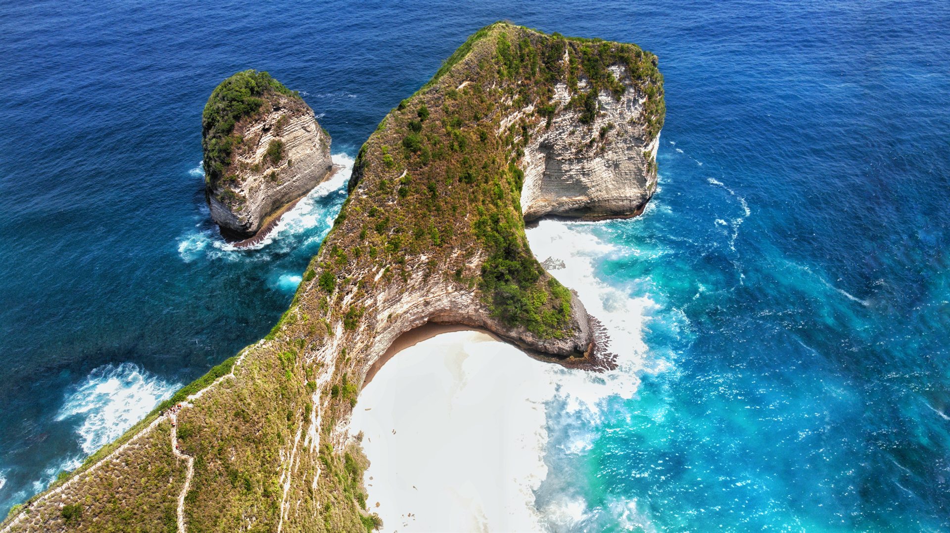
Kelingking T-Rex Cliff & Emerald Bay
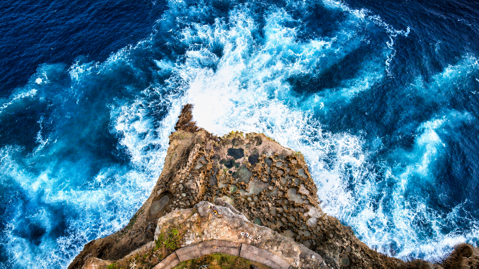
At 299 metres AGL, the legendary T-Rex limestone cliff of Nusa Penida emerges from the Indian Ocean, where turquoise waves carve dramatic white foam arches against sheer 200-metre vertical precipices.
 SKYSCAPE PHOTOGRAPHY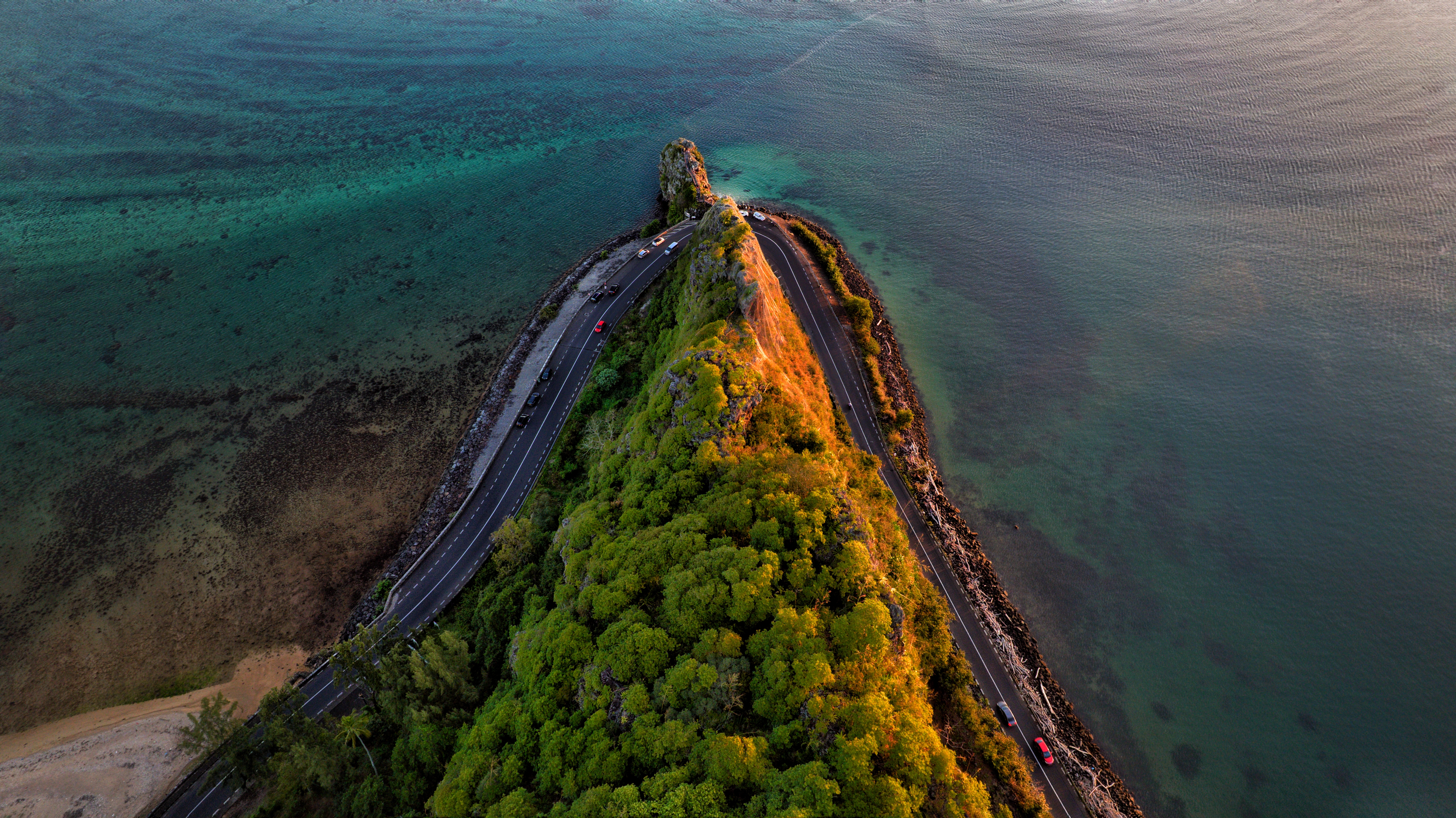
Captured from 168 metres above Macondé Viewpoint in Baie du Cap, Mauritius: where winding coastal roads trace the razor-thin geometry of ancient land and emerald ocean.
About the pilot
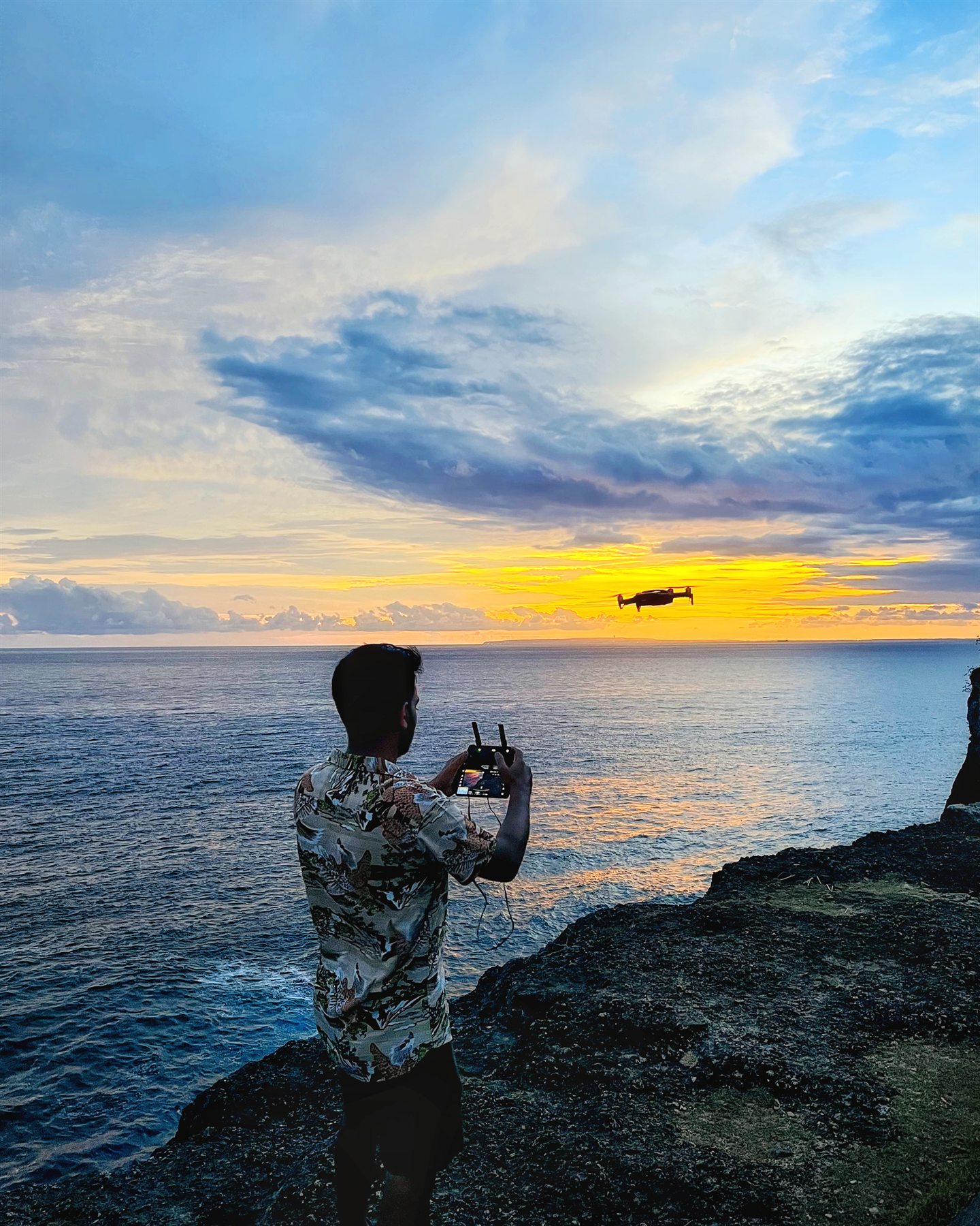
I am Kshitiz Bathwal, an aerial cinematographer and UAS pilot based in India. I specialize in documenting coastal landforms, volcanic terrain, and natural architecture across India, Mauritius, and Southeast Asia. Operating high-resolution 1-inch CMOS sensors between 30 and 299 metres AGL, my work focuses on perspective, spatial scale, and geological structure.
Skyscape Photography is an independent aerial practice built on flight discipline: securing airspace authorizations, evaluating micro-climate wind vectors, and capturing low-angle directional light when long shadows reveal natural geology.
“From 300 metres above, complex landscapes resolve into pure structural geometry.”
Flight log · cumulative
Verified telemetric flight recordsDescent · 299 m to 38 m
At 299 metres AGL, the legendary T-Rex limestone cliff of Nusa Penida emerges from the Indian Ocean, where turquoise waves carve dramatic white foam arches against sheer 200-metre vertical precipices.
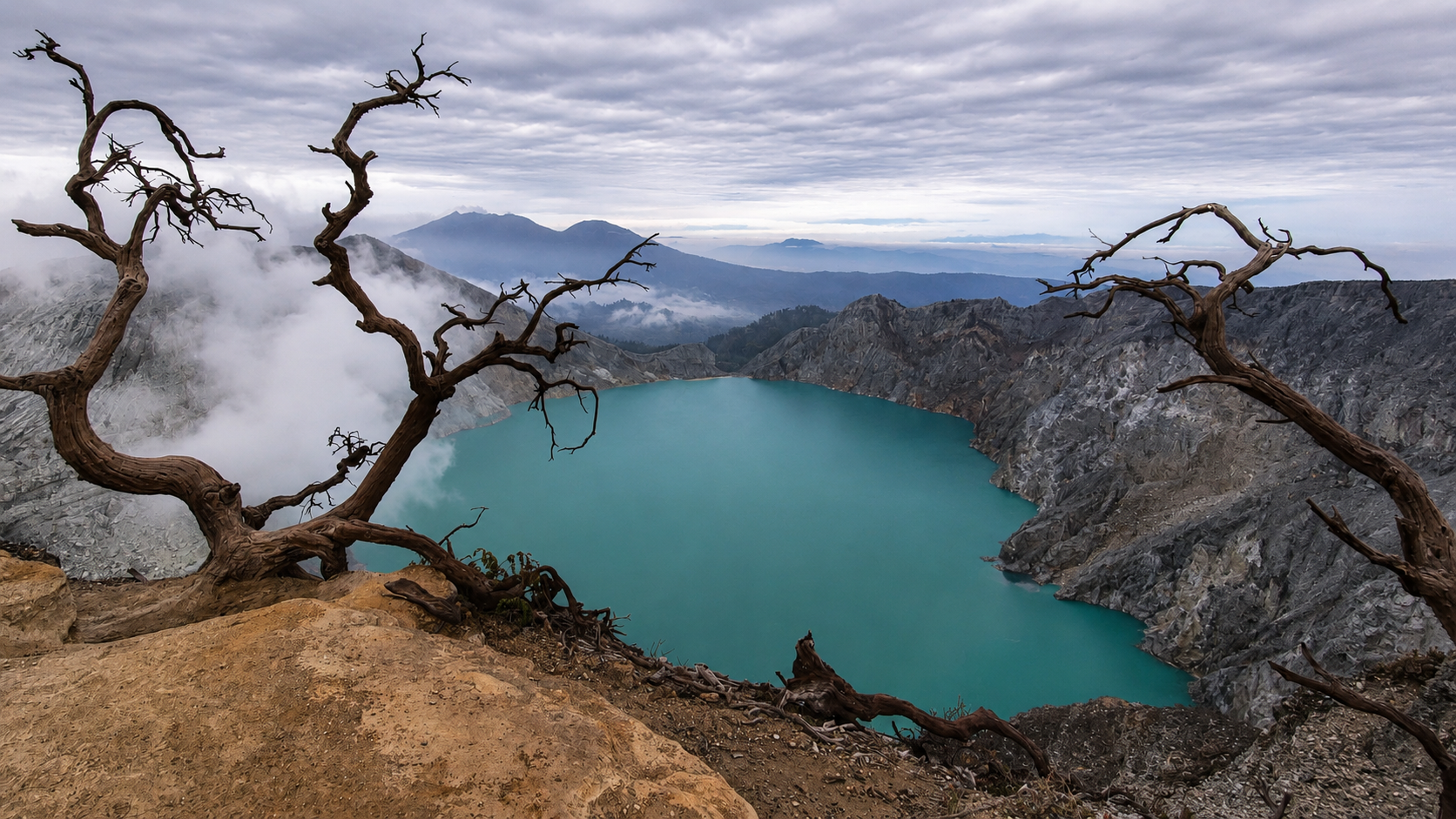
Descending to 212 metres over Mount Ijen caldera in East Java: the world's largest highly acidic crater lake glows in surreal turquoise hues framed by steaming sulfur solfataras and ancient volcanic ridges.
Flown at 168 metres over Macondé Viewpoint in Baie du Cap, Mauritius. Golden sunlight carves the volcanic basalt ridge as winding coastal tarmac cuts between ancient rock and turquoise ocean waters.
Hovering at 114 metres above Angel's Billabong: natural emerald infinity rock pools carved by ocean spindrift where crystalline seawater reflects the morning sky.
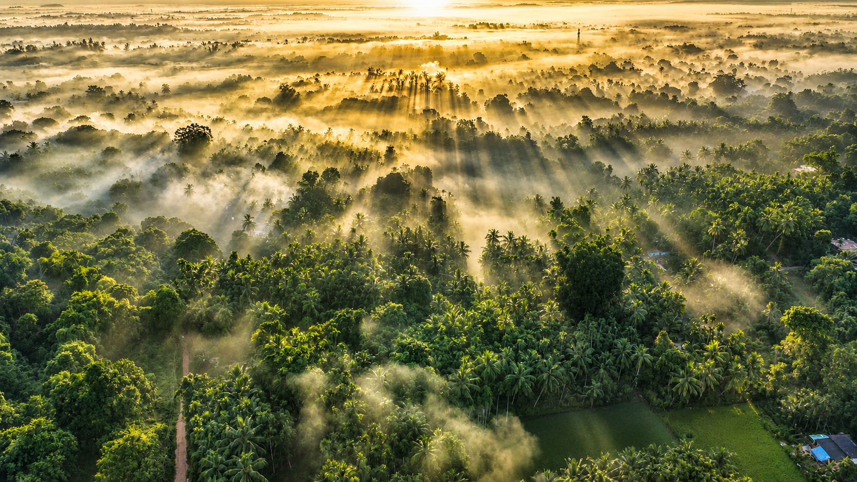
At 72 metres above Gokarna: twin crescent coves shape the sacred Om landform as dense coconut palms meet black granite sea cliffs and breaking Arabian Sea surf.
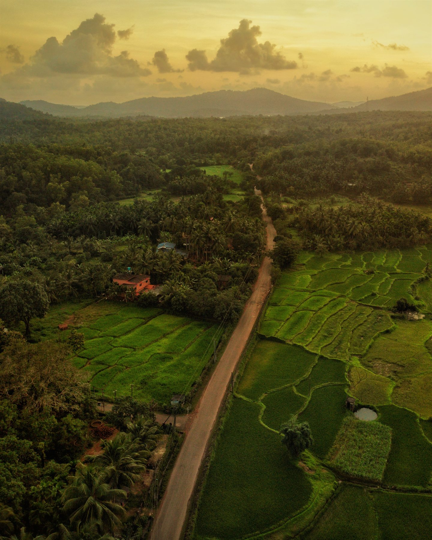
Final approach at 38 metres over Manipal End Point: lush plateau meadows slope gently into Swarna River estuary channels with the distant Arabian Sea horizon glowing at dusk.
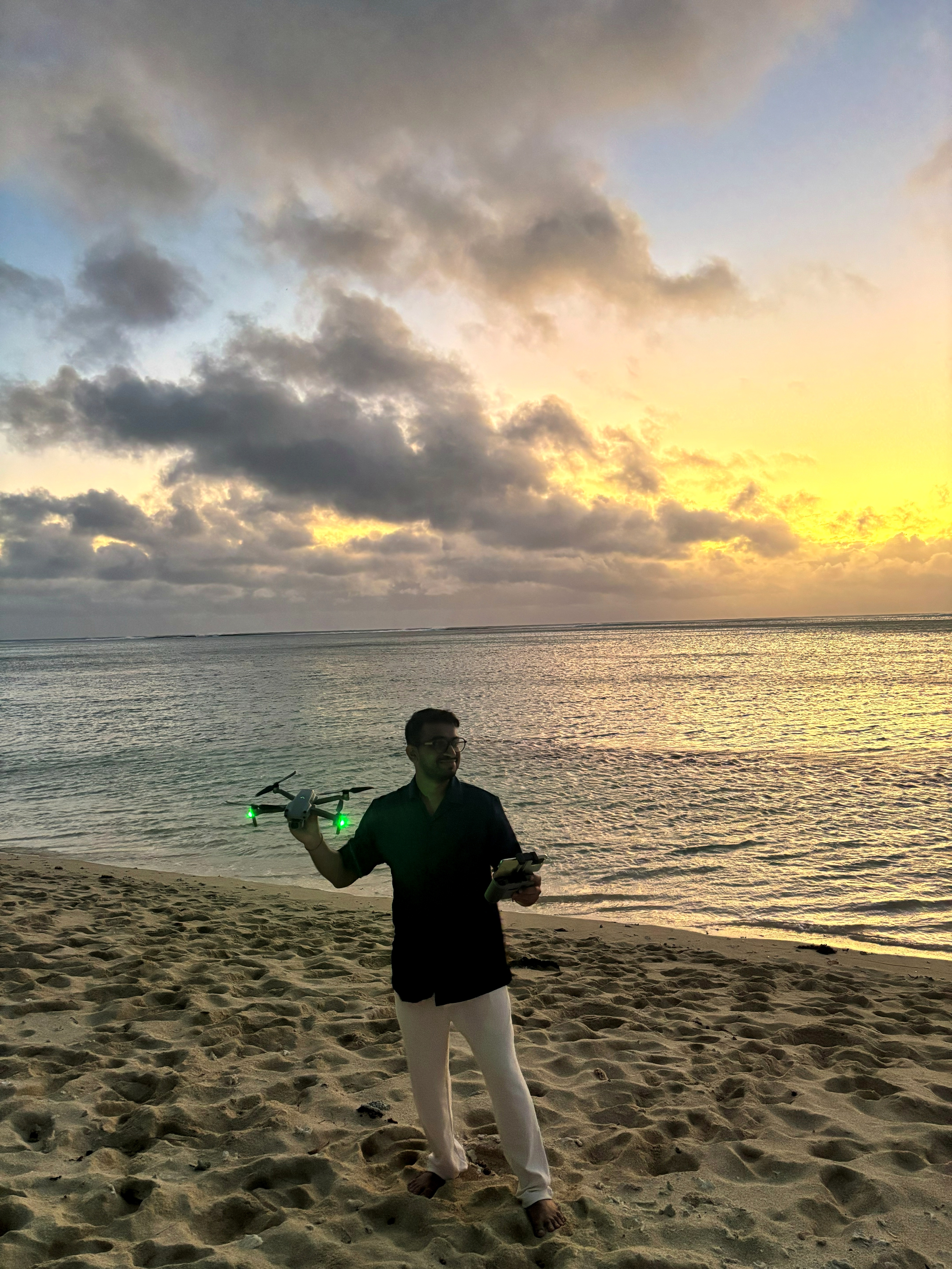
Touchdown · 0 m AGL
Available for fine art prints, editorial commissions, commercial licensing, and survey mapping across India.
kshitiz@skyscapephotography.in